Price Comparison Results


San Francesco Teleo Vacanze
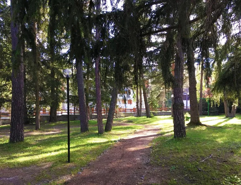
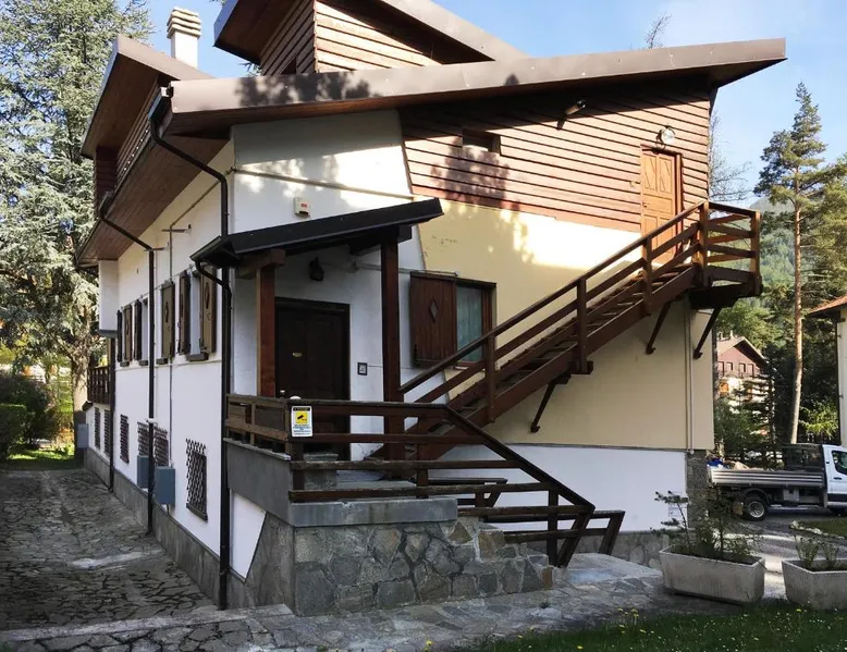
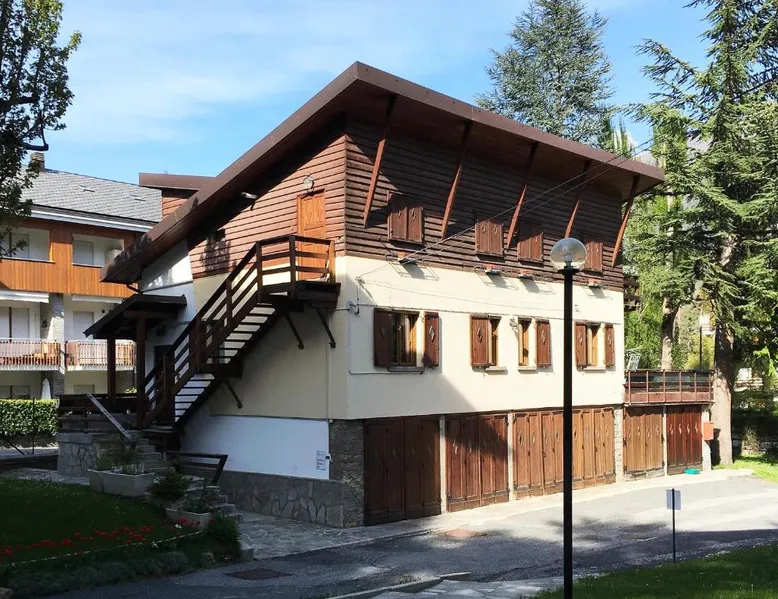
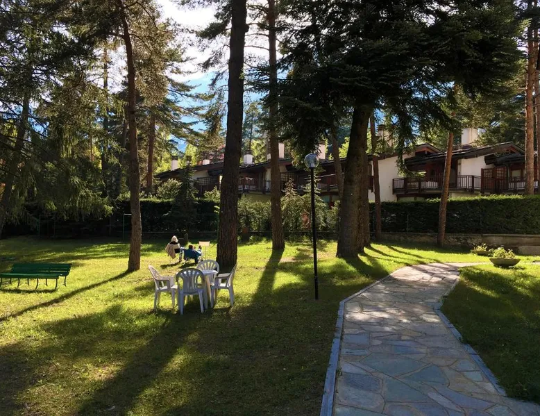
Spendido mountain environment at the San Francesco in Bardonecchia
Description
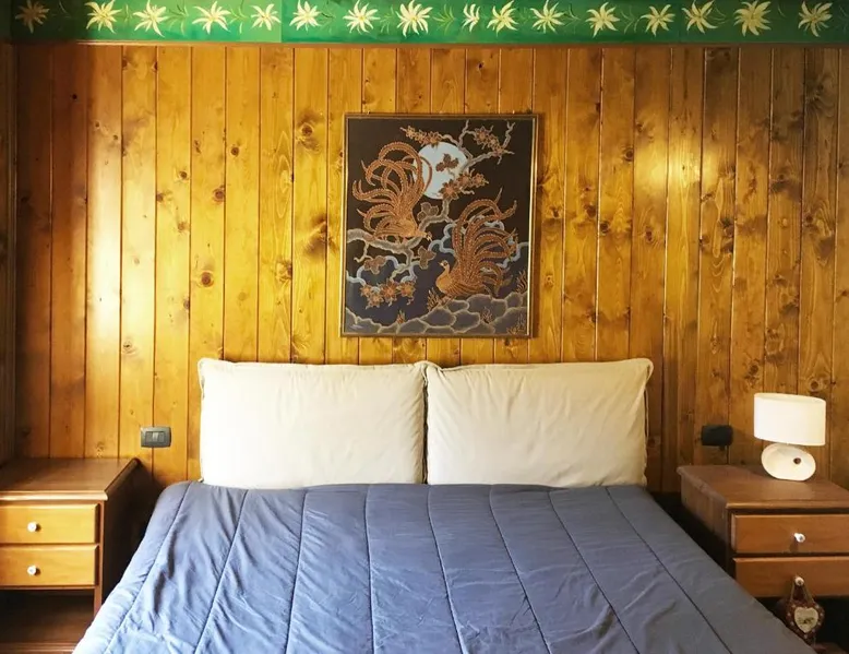
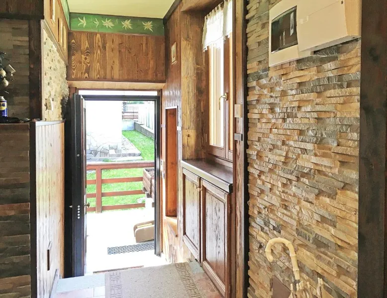
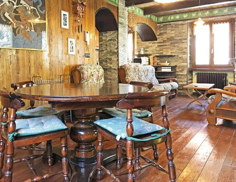
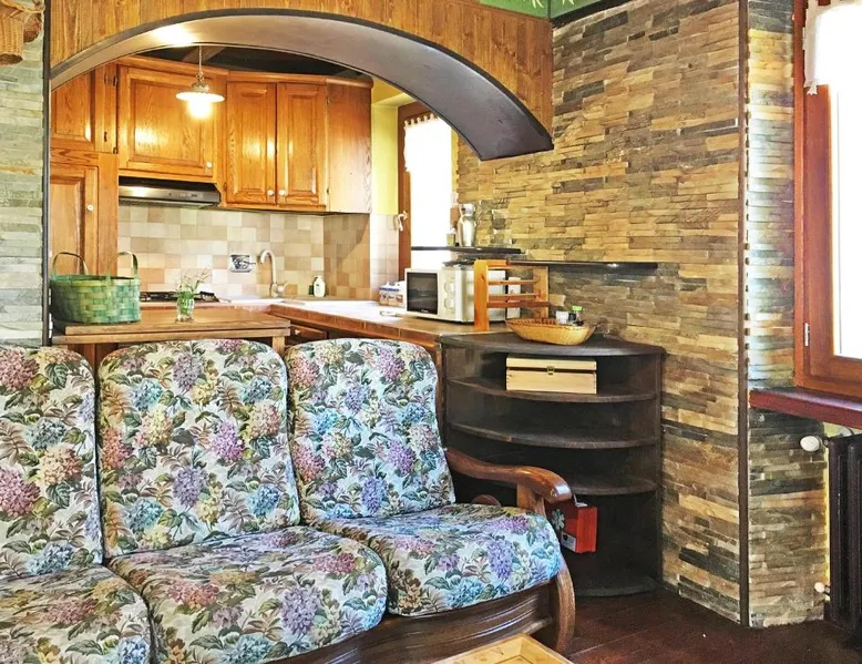
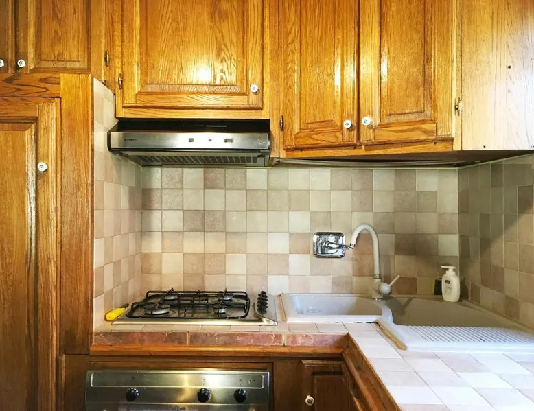
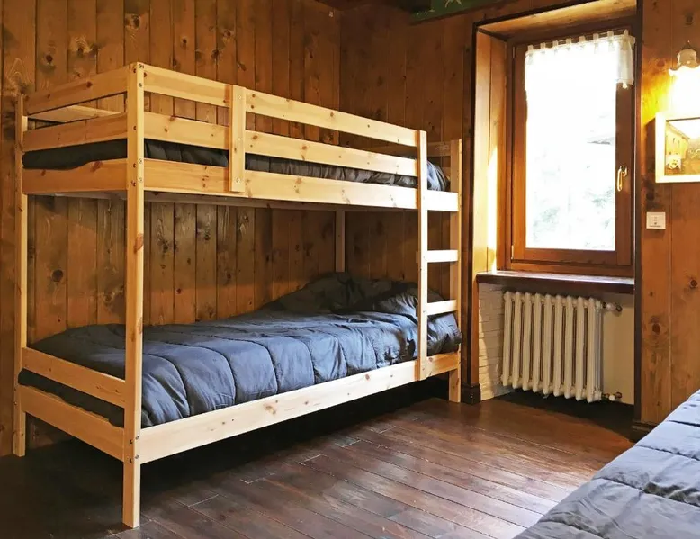
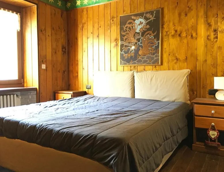
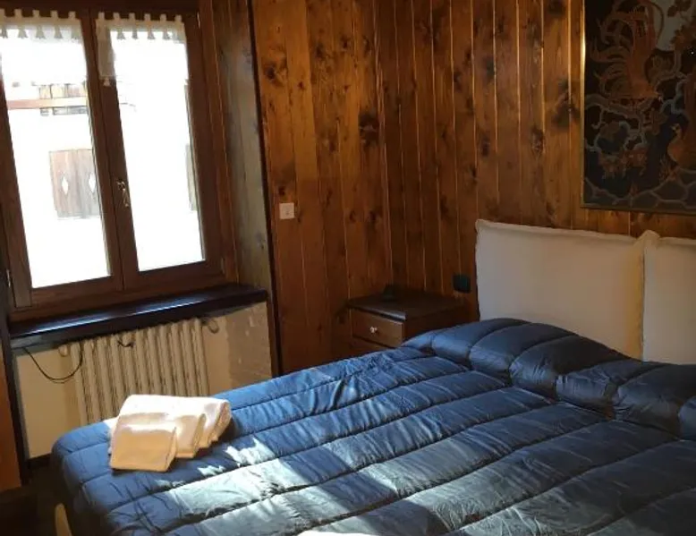
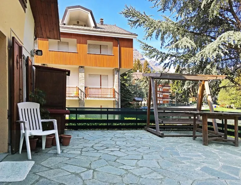
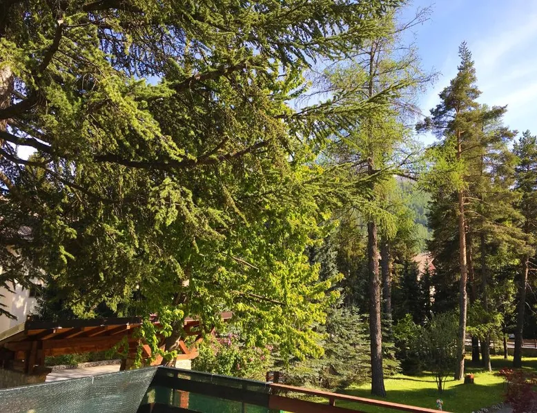
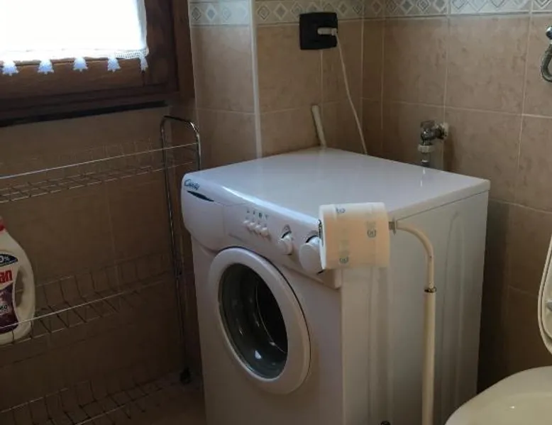
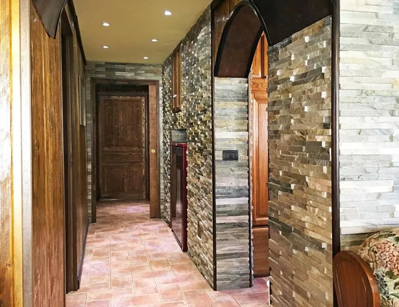
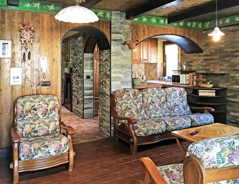
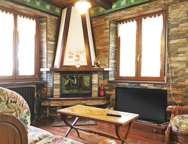
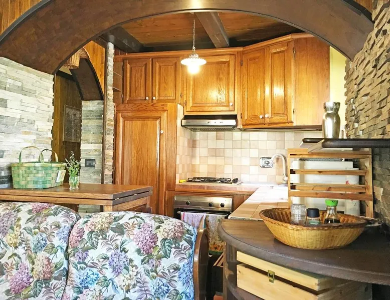
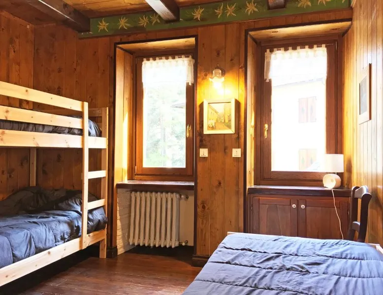
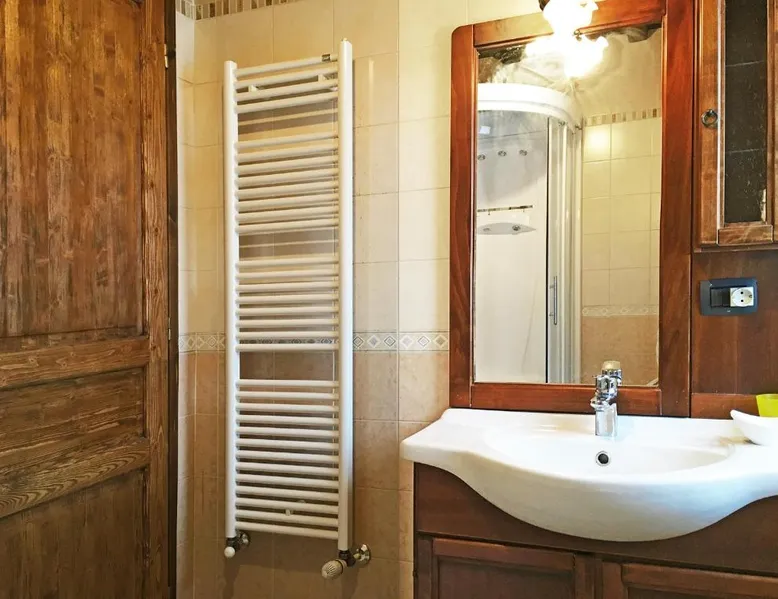
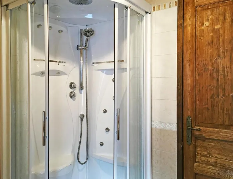
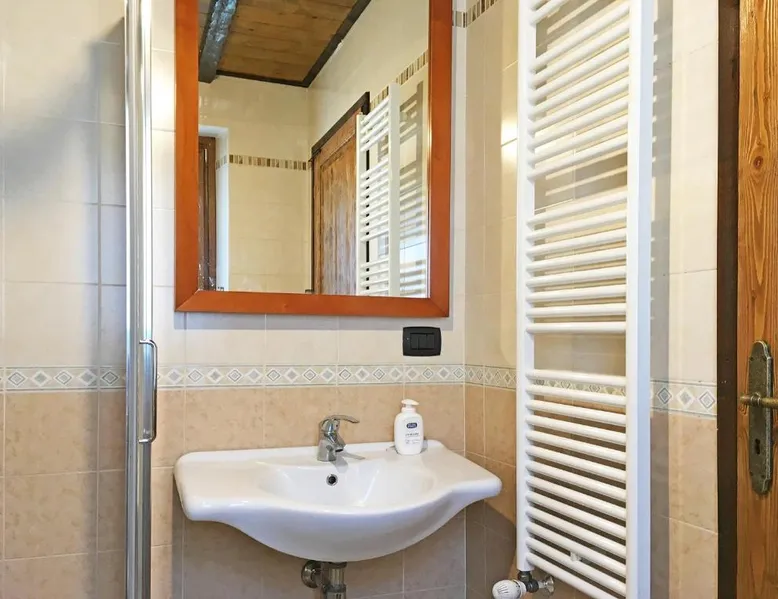
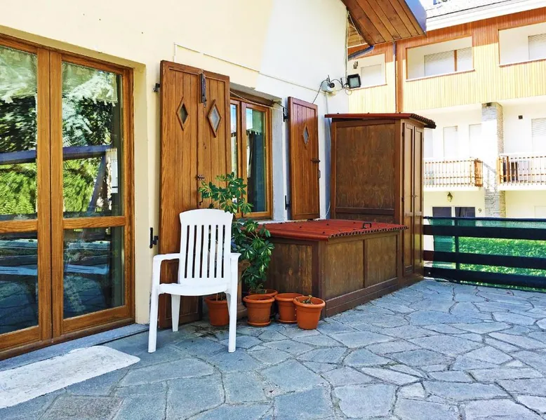
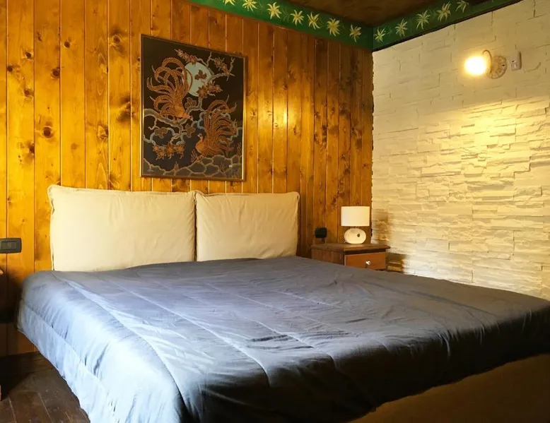
Spacious Accommodations: San Francesco Teleo Vacanze in Bardonecchia offers a spacious apartment with two bedrooms and a living room. Guests enjoy a fully equipped kitchen, balcony, terrace, and garden views. Modern Amenities: The property features free WiFi, a washing machine, and a fireplace. Additional amenities include a dishwasher, microwave, and TV. Free on-site private parking is available. Convenient Location: Located 62 mi from Torino Airport, the apartment is a short walk from Campo Smith Cableway and less than 0.6 mi from the Train Station Bardonecchia. Winter sports enthusiasts appreciate the nearby skiing opportunities. Guest Satisfaction: Highly rated for room cleanliness and convenient location, San Francesco Teleo Vacanze ensures a comfortable and enjoyable stay. This apartment features a fireplace. This spacious apartment includes 1 living room, 2 separate bedrooms and 1 bathroom with a walk-in shower and free toiletries. Meals can be prepared in the well-fitted kitchen, which is fitted with a stovetop, a refrigerator, a dishwasher and kitchenware. The apartment offers a washing machine, a private entrance, soundproof walls, a flat-screen TV with satellite channels, as well as garden views. The unit has 6 beds.
Amenities
Community Book-Direct Links
Reviews
Location
Italy · Piemonte · Bardonecchia
Got questions?
We are eager to hear from you whether you need to contact our support team, speak with our founders, or simply want to say hello.