
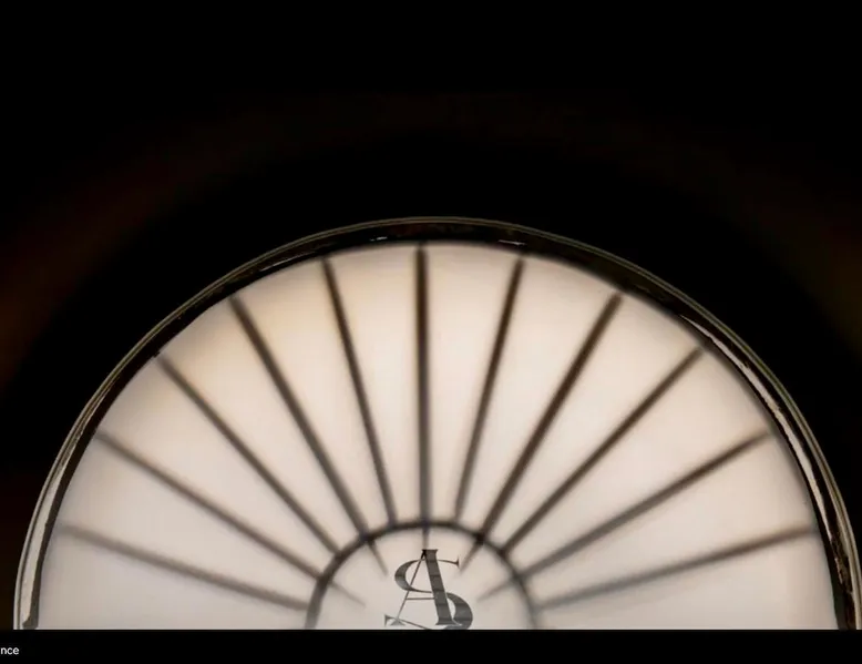
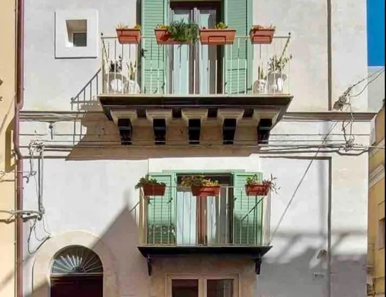

La Scala Verde, Winter apartment
The green staircase, apartment Winter
Other Booking Options
Upgrade your account to get better deals with book-direct options and access manager contact information.
Description
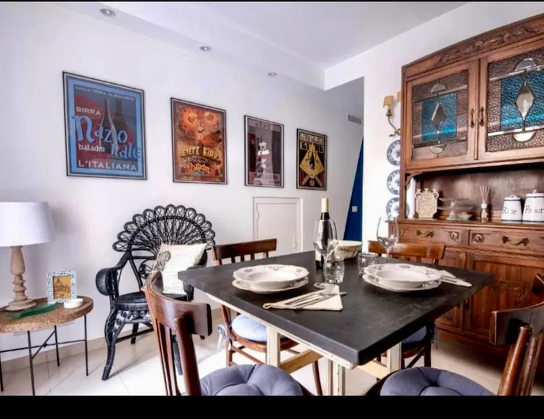
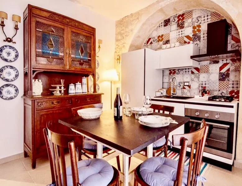
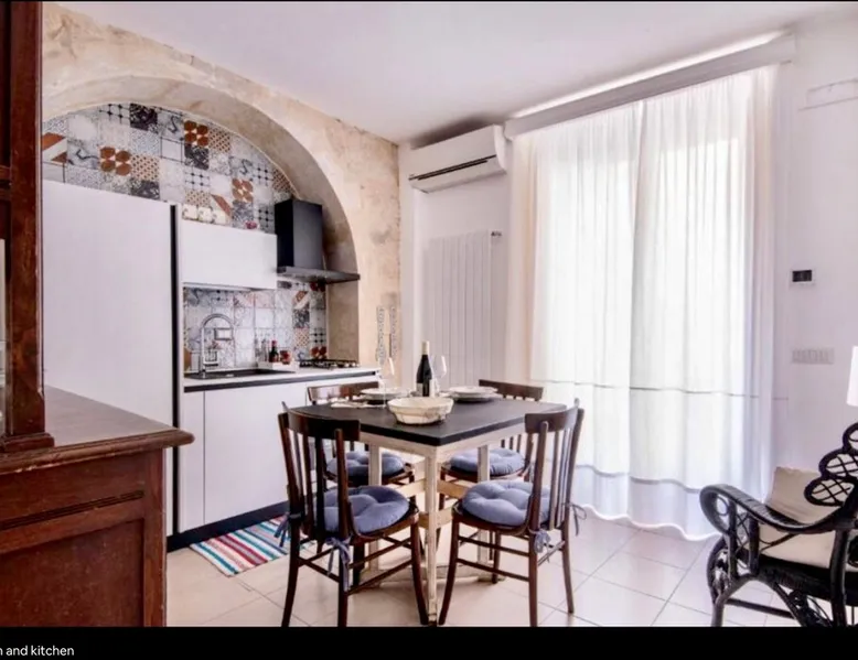
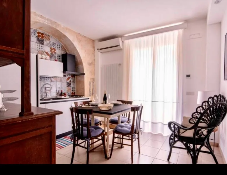
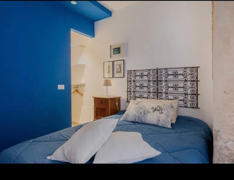
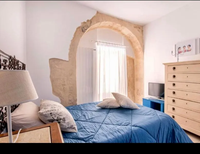
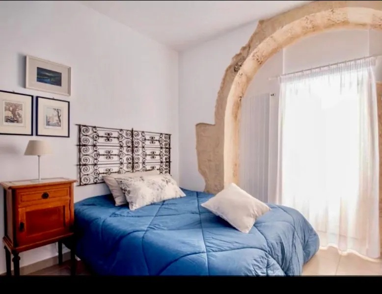
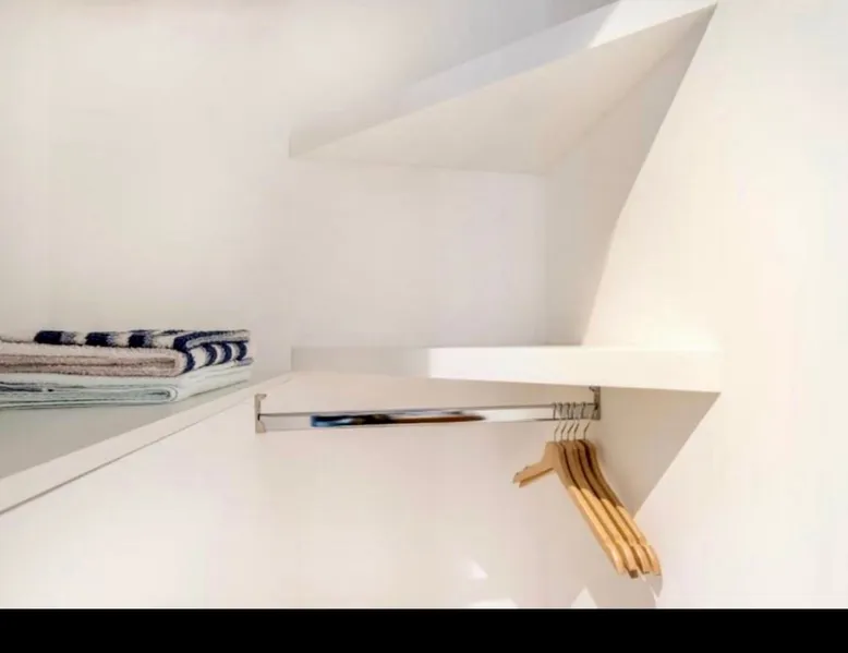
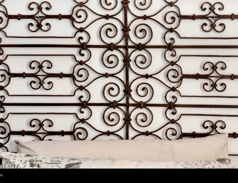
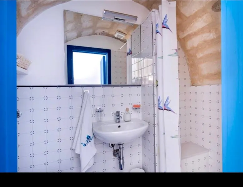
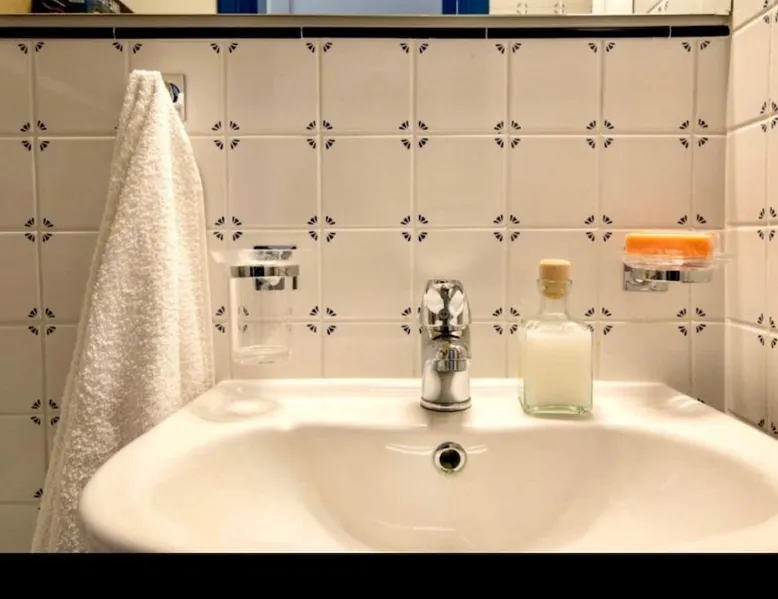
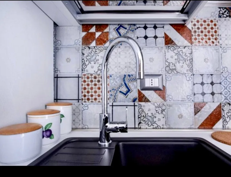
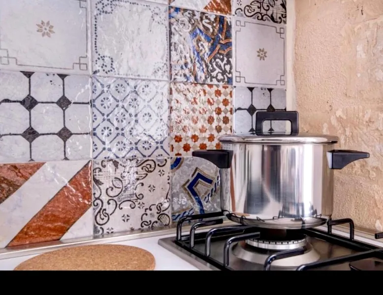
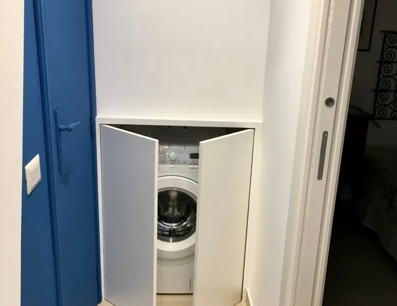
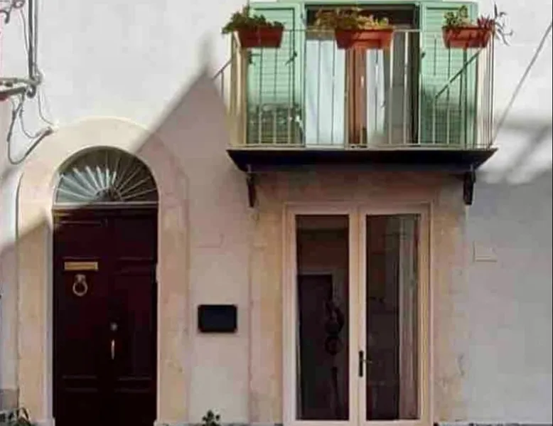
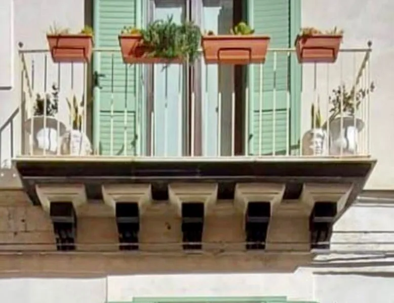
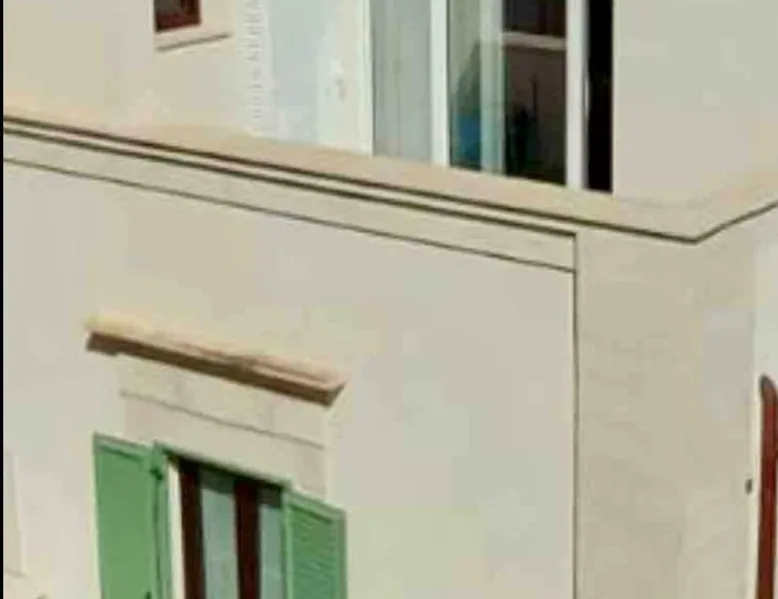
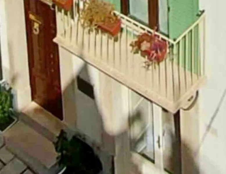
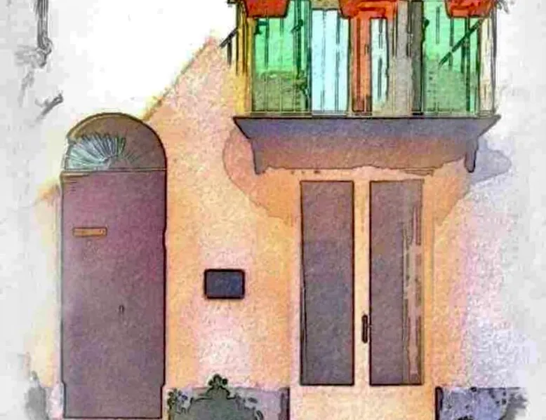
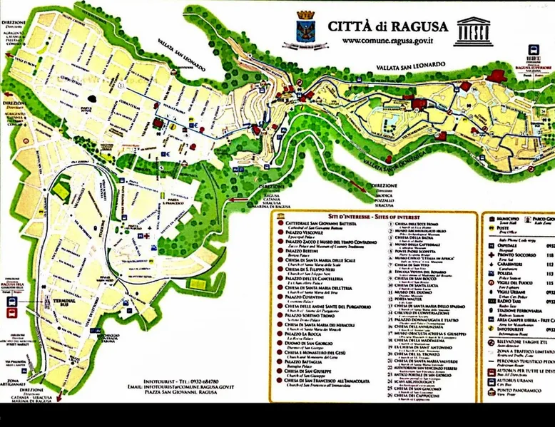
The green staircase is perfect for people looking for a place to stay feel "out of town like at home": our property is located in the heart of it historic center of Ragusa, just above the Central Square and the suggestive Cathedral of San Giovanni Battista, very close to the Bishop's Palace with the its enchanting Baroque, and Via Roma, embellished with the viewpoint on the valley from which you can admire Ragusa Ibla, fascinating tourist destination also reachable on foot. The space WINTER apartment is on the ground floor of a building in which there are 4 mini apartments, all with a tourist vocation. The apartment is the only one with an independent entrance; in the first room you will find the kitchen/living room and the bathroom and immediately after the bedroom. Each room has a radiator and air conditioners. Wifi reaches the entire space. Guest access Guests will have access to the entire space. Other things to note Ragusa is a "comune" (municipality) in the Italian region Sicily, located about northeast of Ragusa. It is called the "city of bridges", due to the presence of three very picturesque structures of historical value. In 1693 a devastating earthquake caused the almost total destruction of the entire city, claiming more than five thousand victims. The reconstruction, which took place in the eighteenth century, divided it into two large districts: on one side Ragusa superior, located on the plateau, on the other Ragusa Ibla, arose from the ruins of the ancient city and rebuilt according to the ancient medieval plant. The architectural masterpieces built after the earthquake, together with all those present in the Val di Noto, were declared a World Heritage Site by UNESCO in 2002. Ragusa is one of the most important places for the presence of Baroque art, such as its churches and its eighteenth-century palaces. The city, which extends on the southern part of the Iblei mountains, is the capital of the southernmost province of Italy, is the third Sicilian municipality by area and eleventh by altitude[11] and is on average 20 km from the sea. The highest peak is Mount Arcibessi (906 m a.s.l.), for this reason it is among the municipalities lapped by the sea that have the highest difference in height. The oldest district of the city, Ragusa Ibla, stands on a hill. To the east the city is surrounded by the San Cono hill, and in the middle flows the Irminio river, one of the most important in southeastern Sicily. To the north the city is bordered by the Cava del Torrente San Leonardo and Mount Patro. To the south is Mount Bollarito which is divided from Ragusa by the Fiumicello stream. Finally, to the west stands Ragusa superior on the Patro and Cucinello hills, the most recent part of the city instead on the Corrado, Pendente and Selvaggio hills, the first two detached from the surrounding hills by two deep gorges, the typical "quarries" of the Ibleo table, the Cava Gonfalone and the Cava Santa Domenica. the city develops westward until it reaches the plateau (680 m a.s.l.). In the past, the entire territory of Ragusa was covered with dense Mediterranean vegetation composed mainly of oaks and laurels. The deforestation perpetrated over the centuries, starting from the massive ones carried out by the Romans, in order to allocate the land to the cultivation of cereals and pastoralism, have contributed in large part to the decrease in water resources, which in any case in the entire province are higher than those of other Sicilian provinces. The Irminio river, once navigable, as can be seen from ancient Arab documents, is blocked by a dam; this gave rise to an artificial lake: Lake Santa Rosalia, which is located halfway between Ragusa and Giarratana. On the Iberian territory, the flora has over 1500 taxa, mostly belonging to the circum-Mediterranean element. The extra-municipal territory, almost entirely, insists on the last flaps of the Iblei Mountains that gently slide towards the Mediterranean Sea, a plateau characterized by enormous cultivated expanses, of an interrupted network of dry walls dotted with carob trees and olive trees. The reliefs once degraded to sea level, give way to the coast on which the municipal territory overlooks for about 15 km. The Ragusa coast consists of both large sandy stretches and stretches of rock. Ibleo landscape and Lake Santa Rosalia In the last two million years, after the marine regression that in the Miocene had allowed the Hybleans to emerge and all the seabed that goes to the islands of the Maltese archipelago, the opposite movement, in the Pliocene submerged the lower lands and the orogenetic events caused by underwater volcanic activity composed the Ragusan table. The territory is mainly hilly, formed by large plateaus and valleys and the flow of rivers has eroded the plateau forming numerous deep canyons. The ibleo plateau is one of the promontories of the African plate and consists of a continental type crust mostly of carbonate and carbonate-sea sediments of Cretaceous-quaternary age in which basic vulcanites are intercalated, also karst is widespread. In the coastal areas, near the sea, there is the sandstone. Some areas of the Iblei Mountains also have rocks of volcanic origin such as near Mount Lauro, part of an underwater volcanic complex. From the limestone that abounds throughout the territory, dry stone walls are born, which delimit the locks and characterize the landscape. Ragusa enjoys a hilly Mediterranean climate: its altitude determines average temperatures colder than those of the Sicilian coast. Snow events are rare in lower areas of the city such as Ibla; they occur more frequently, however, in the higher areas, located on the plateau, which have a Mediterranean mountain climate. Winter is very rainy: the rainfall is abundant from October to March. Along with Messina, Ragusa is one of the rainiest provincial capitals, having an annual average of about 700 mm per year. The greater the amount of rain that falls on the high areas of the Iblei mountains, where you can exceed 1000 mm per year. The highest rainfall occurs, as well as during intense thunderstorms typical of autumn, during the most persistent winter upheavals, which can easily bring quantities even around 200 mm in a day on all the Iblei, with the exception of the Victorian lowland that is disadvantaged if eastern winds blow. There is a 10-year oscillation between 650 mm and 1 481 mm in total. Registration Details IT088009C2E374LMY4
Community Book-Direct Links
Reviews

Got questions?
We are eager to hear from you whether you need to contact our support team, speak with our founders, or simply want to say hello.